The Locality of Friendship
I don’t know Paul Butler, an intern on Facebook’s “data infrastructure” engineering team, but I’m pretty sure I would like him…in the way I like all nerds everywhere. :)
Take dear Paul’s recent Facebook note, for example, in which he talks about sitting around wondering about the “where” of friendship.
Specifically, Paul was curious about how geography and political borders affected friendship.
And he wondered if certain cities–maybe cities close to each other or cities with similar cultural demographics–naturally showed a lot of friendships between them.
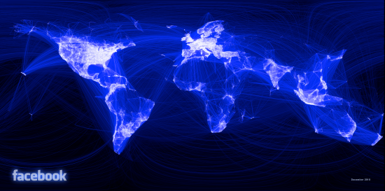
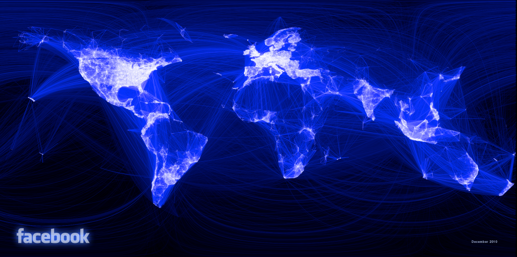
But–and this is what I love about nerds–rather than just wonder about how friendships form over distance, Paul went ahead and plotted it out visually. He weighted various pieces of data until points of friendship began to appear on a map.
The result? The locations of friendships started to form on the blue backdrop in such a way that the continents became viewable without him even needing to draw them in. The end product, then, was a map of connection.
But his last sentence is what really does me in. This, he said, is not just a beautiful picture. It’s a reaffirmation of human ability to connect across oceans and borders (via Facebook, in his case).
Good work, Paul. Nice picture. And even nicer idea.
Perhaps we’ll all be able to imagine a better world together after all.


